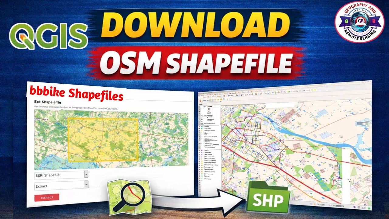
QGIS Buffer Analysis | Create Buffer for Point Line Polygon | Multiple Ring Buffer in QGIS |
Автор: Geo-RemoteSensing
Загружено: 2026-01-21
Просмотров: 50
In this tutorial, we learn how to use the QGIS Buffer Tool step by step for GIS analysis.
This video explains how to create buffer for point line polygon features in QGIS with practical examples.
🔑 Keywords: buffer analysis, buffer analysis in gis, point buffer, line buffer, polygon buffer, qgis buffer, arcgis buffer, spatial analysis, geospatial analysis, gis tutorial, qgis tutorial, arcgis tutorial, gis for beginners, buffer distance gis, gis mapping, gis geoprocessing tools, road buffer analysis, service area mapping, dissolve option gis, geographic information system
We start with a quick reference from ArcMap and then demonstrate buffer analysis in QGIS using point, line, and polygon layers.
You will also learn how to generate a multiple ring buffer in QGIS, understand buffer distance, dissolve option, and real-world applications of buffer analysis.
This video is helpful for QGIS beginners, GIS students, and professionals preparing for GIS practicals and projects.
📘 What You Will Learn in This Video
✔ What is Buffer Analysis in GIS
✔ Point Buffer – concept, importance, and usage
✔ Line Buffer – road & river influence zone analysis
✔ Polygon Buffer – protective and restriction zones
✔ Practical GIS examples
If you are a beginner in GIS or preparing for geospatial jobs, this buffer analysis tutorial will be extremely useful.
👍 Don’t forget to Like, Share & Subscribe for more GIS tutorials!
🔔 Press the bell icon to stay updated with new videos.
Follow me on Instagram:
/ georemotesensing
@GeoRemoteSensing
Hashtags:
#youtubevideo #youtubeviral #youtubetrending #qgis #georemotesensing #qgis #qgisbuffer #buffertool #bufferanalysis #gis #gistutorial #qgistutorial #qgisforbeginners #geoprocessing #spatialanalysis #gisanalysis #remotesensing #geography #georemotesensing #gislearning
[Thanks for watching]

Доступные форматы для скачивания:
Скачать видео mp4
-
Информация по загрузке: