Популярное

Музыка Кино и Анимация Автомобили Животные Спорт Путешествия Игры Юмор

Интересные видео

2025 Сериалы Трейлеры Новости Как сделать Видеоуроки Diy своими руками

Топ запросов

смотреть а4 schoolboy runaway турецкий сериал смотреть мультфильмы эдисон
dTub
Скачать

Satellite Image Classification for Land Use and Land Cover (LULC) Using QGIS

Автор: Dr. Festus

Загружено: 2024-01-27

Просмотров: 11069

Описание:

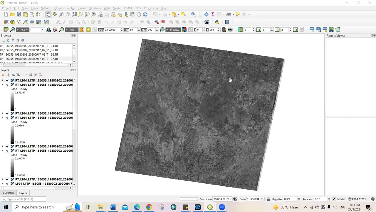
In this video, I described how to classify satellite Landsat images downloaded https://earthexplorer.usgs.gov/ for making Land use and Land cover (LULC) using QGIS. Kindly drop your comments for any improvement or questions.

Satellite Image Classification for Land Use and Land Cover (LULC) Using QGIS

Поделиться в:

Доступные форматы для скачивания:

Скачать видео mp4

  • Информация по загрузке:

Скачать аудио mp3

Похожие видео

Wrzosek z zegarkiem za 200 tysięcy? Raport wPolsce24

Wrzosek z zegarkiem za 200 tysięcy? Raport wPolsce24

Supervised Land Use and Land Cover Classification in QGIS Using Landsat-8 (Latest Version of QGIS)

Supervised Land Use and Land Cover Classification in QGIS Using Landsat-8 (Latest Version of QGIS)

HOW TO MAKE A LAND USE AND LAND COVER MAP USING QGIS AND ESRI | Sandoval, Hannah Isabel

HOW TO MAKE A LAND USE AND LAND COVER MAP USING QGIS AND ESRI | Sandoval, Hannah Isabel

Calculating NDVI from Satellite Imagery using QGIS

Calculating NDVI from Satellite Imagery using QGIS

Introduction to QGIS

Introduction to QGIS

USGS Earth Explorer Tutorial: How to Download Satellite Imagery | Landsat, Sentinel & More

USGS Earth Explorer Tutorial: How to Download Satellite Imagery | Landsat, Sentinel & More

Создание карт земельного покрова в QGIS # Учебное пособие по QGIS

Создание карт земельного покрова в QGIS # Учебное пособие по QGIS

How to download the  latest LANDSAT 9 image from USGS

How to download the latest LANDSAT 9 image from USGS

Sytuacja KRYTYCZNA Na Ukrainie! Wybuchła POTĘŻNA Afera Korupcyjna. Koniec ZELENSKIEGO?

Sytuacja KRYTYCZNA Na Ukrainie! Wybuchła POTĘŻNA Afera Korupcyjna. Koniec ZELENSKIEGO?

Landsat 8 Image Classification using QGIS

Landsat 8 Image Classification using QGIS

ЛУЧШИЕ СПОСОБЫ ЗАГРУЗИТЬ СПУТНИКОВЫЕ СНИМКИ В GOOGLE EARTH ENGINE И ВИЗУАЛИЗИРОВАТЬ ИХ В QGIS

ЛУЧШИЕ СПОСОБЫ ЗАГРУЗИТЬ СПУТНИКОВЫЕ СНИМКИ В GOOGLE EARTH ENGINE И ВИЗУАЛИЗИРОВАТЬ ИХ В QGIS

Создание 3D-карт в QGIS

Создание 3D-карт в QGIS

Simple ways to download Landsat Satellite Images using Earth Explorer

Simple ways to download Landsat Satellite Images using Earth Explorer

Detect and count Trees using deep learning in QGIS

Detect and count Trees using deep learning in QGIS

How I Would Learn GIS (If I Had To Start Over)

How I Would Learn GIS (If I Had To Start Over)

Land Use and Land Cover Map tutorial using QGIS

Land Use and Land Cover Map tutorial using QGIS

Машина случайного леса для картографирования LULC с помощью Landsat и Google Earth Engine...

Машина случайного леса для картографирования LULC с помощью Landsat и Google Earth Engine...

A place to rest: Relaxing Ambient Harp 1 Hr | Sarah Bhalla

A place to rest: Relaxing Ambient Harp 1 Hr | Sarah Bhalla

ПРОСТЫЕ СПОСОБЫ ИСПОЛЬЗОВАНИЯ GOOGLE EARTH ENGINE || КАК ИМПОРТИРОВАТЬ ШЕЙП-ФАЙЛ || #googleearthe...

ПРОСТЫЕ СПОСОБЫ ИСПОЛЬЗОВАНИЯ GOOGLE EARTH ENGINE || КАК ИМПОРТИРОВАТЬ ШЕЙП-ФАЙЛ || #googleearthe...

Supervised Land Use and Land Cover Classification of Sentinel-2 in QGIS (Latest Version of QGIS)

Supervised Land Use and Land Cover Classification of Sentinel-2 in QGIS (Latest Version of QGIS)

© 2025 dtub. Все права защищены.


  • Контакты
  • О нас
  • Политика конфиденциальности


Контакты для правообладателей: infodtube@gmail.com