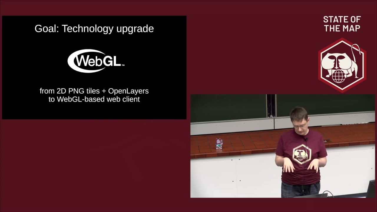
2019: OSM data processing with PostgreSQL/PostGIS
Автор: State of the Map
Загружено: 2019-09-22
Просмотров: 11714
The PostgreSQL database with the PostGIS extension is an important instrument in the toolbox of anybody working with OSM data. This talks explains the basics of working with the SQL database and how it handles geographic data. We'll look at getting OSM data in and out of such a database and what we can do with the data once it is in there.
The PostgreSQL database with the PostGIS extension has always played an important role in the OpenStreetMap project. The main OSM database is a PostgreSQL database, tile rendering is most often done from a PostgreSQL database, data analysis and data transformations using current or historical OSM data can be done with PostgreSQL. But understanding what the database can and can not do isn't always easy. And there are a ton of tools, from osm2pgsql to Imposm to Osmosis to Osmium and beyond that "do things" with OSM and PostgreSQL databases. It can be daunting to understand what they all do and where their place in the larger OSM ecosystem is. This talk is an introduction into some of the concepts of SQL and geographical data in an SQL database as well as a whirlwind tour about uses of PostgreSQL in the OSM context. We'll talk about use cases from rendering, to data analysis to routing. We'll talk about the data models that enable those use cases and the software that implements them. And we'll also talk about where the limits are and what things can better be done outside the database. The audience will walk a
way with an idea of how things fit together and how to approach their own projects using PostgreSQL.
Jochen Topf
https://pretalx.com/sotm2019/talk/K8N...

Доступные форматы для скачивания:
Скачать видео mp4
-
Информация по загрузке:


![Как сжимаются изображения? [46 МБ ↘↘ 4,07 МБ] JPEG в деталях](https://imager.clipsaver.ru/Kv1Hiv3ox8I/max.jpg)