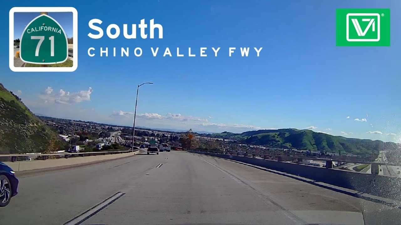
California State Route 71 - South
Автор: Vidlea
Загружено: 2026-01-09
Просмотров: 320
CA-71 is a crucial, multi-purpose urban connector that facilitates the movement of people and goods between several major Southern California regions in the Westernmost fringes of the Inland Empire. The freeway begins at a large, stacked interchange with CA-91.
This is a major convergence point for traffic from Riverside, Orange County (via CA-91), and Corona heading north into the Chino Valley and San Gabriel Valley. The route heads north through rolling hills, passing the Carbon Canyon Regional Park area.
It serves the cities of Chino Hills and Chino. The area is a mix of residential communities, large retail centers, and significant industrial/warehouse complexes. it then meets CA-60 (Pomona Freeway). Formally between Rio Rancho and Mission Blvd in Pomona, CA-71 transitioned from a freeway to a signalized surface street for about 1.5 miles. The Segment has since been upgraded to a freeway. it was Completed in 2026. CA-71 Ends at the massive, multi-level "Kellogg Interchange" with I-10 and CA-57.
When California first signed its state highways in 1934, Route 71 was designated as a very long route running from near CA-74 near Anza to Claremont via Temecula and Pomona.
The segment was just a small part of this original, sprawling highway. Through the mid-20th century, the road through Corona, Chino, and Pomona was a surface street route following roads like Euclid Avenue, Central Avenue, and Garey Avenue. The shift to a controlled-access highway began in 1958 with the opening of the "Corona Freeway" as an expressway in Pomona. This new road literally cut through the old surface route, beginning a decades-long construction process.
A major change occurred in the 1970s. The southern portions of the original, long Route 71 were absorbed by the new Interstate 15 (I-15) and other state routes. The northern segment from the Kellogg Interchange (I-10/CA-57) south to CA-60 was completed in 1971.
The southern segment from CA-60 south to CA-91 was not finished until March 1998, finally creating the continuous freeway/expressway corridor we know today.
CA-71 is Heavily used by daily commuters traveling between the Inland Empire and job centers in Los Angeles and Orange County.
the route is Vital for freight movement due to the extensive industrial and warehouse facilities in Chino, the Pomona Valley, and the I-10/I-15 corridors.
Length: 16 miles
Drivetime: 15 min
Доступные форматы для скачивания:
Скачать видео mp4
-
Информация по загрузке:


![[Full Version] CALIFORNIA PACIFIC COASTLINE - Driving San Clemente Beach to San Pedro, Orange County](https://imager.clipsaver.ru/fXm16iQENCQ/max.jpg)