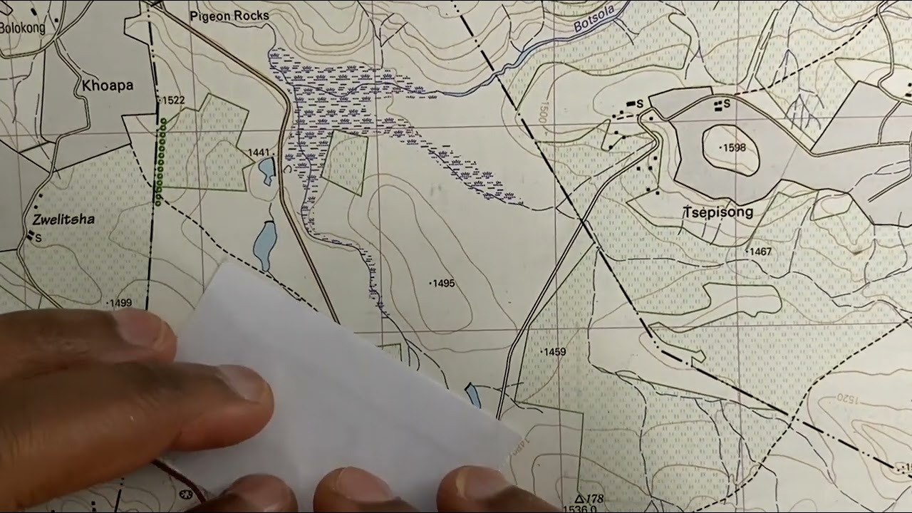
Types of scale given on the map
Автор: Geography is Fun
Загружено: 2020-12-07
Просмотров: 14467
Identification and definition of types of scale given on the mapMap scale is the ratio between the distance on the map and the corresponding distance on the ground.
Statement: The scale is indicated in the form of a written statement.
In a toposheet, 2 cm on the map represents 1 km on the ground.
PROS- It is easier to understand as it is express in words
CONS- It is difficult for those who are not familiar with the unit of measurement used. Besides, the scale will not be the same when the original map is reduced or enlarged.
Representative Fraction (R.F.): It is also called universal scale. It is expressed as a ratio of map distance and ground distance through numerical.
RF- 1:50,000
Pros-Can be used universally irrespective of the local unit of measurement of distance.
Cons- Doesn’t give visual representation
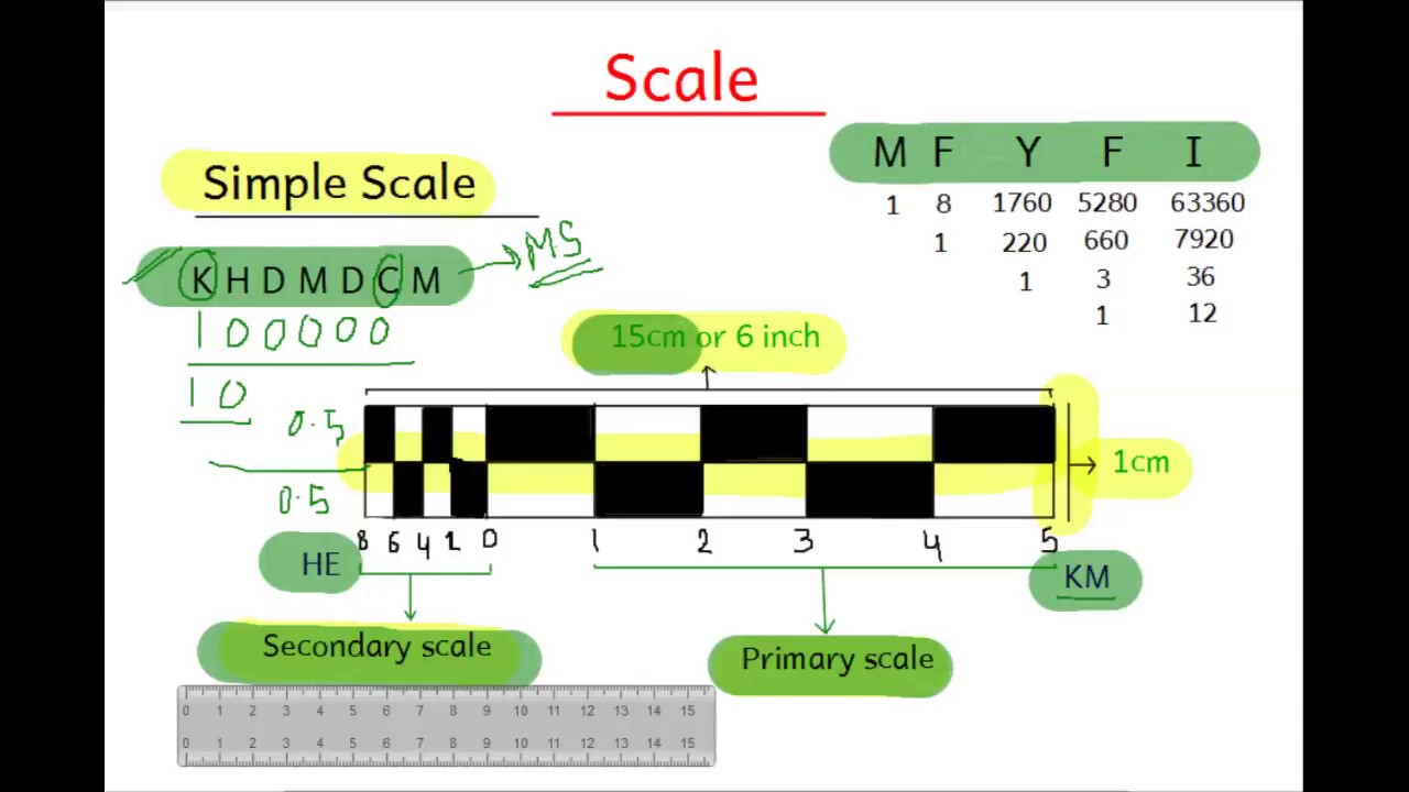
Linear Scale or Graphical Scale: This scale is expressed as a straight line divided into primary and secondary division, equivalents of representative fraction or verbal scale.
Pros- The base is calibrated to express visual equivalents of representative fraction or verbal scale.
Cons- It is useful only to those who are familiar with the particular unit of measurement.

Доступные форматы для скачивания:
Скачать видео mp4
-
Информация по загрузке: