How to use quantities symbology in ArcMap
Автор: Salauddin Rubel
Загружено: 2019-03-25
Просмотров: 15377
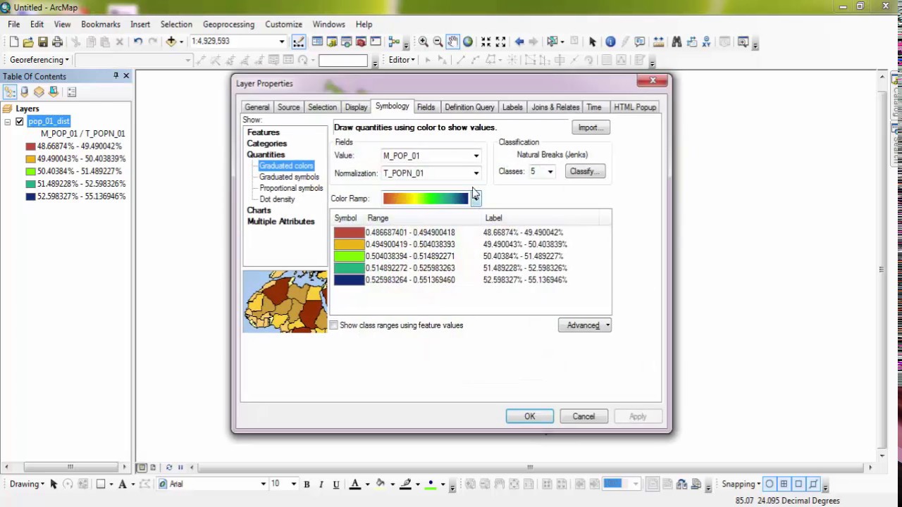
Symbology is the application of graphic symbols—varied by color, size, and other properties—to represent geographic features on a map. In ArcGIS Desktop, symbology is set on the Symbology tab of the Layer Properties dialog box. This video will show ways of use quantities symbology like normalization or percentage.
#arcgis_symbology #arcmap_symbology #symbology_arcgis #symbology_arcmap #GISTutorial #ArcGIS #GIS #ArcMap #ColouringMap #QuantitiesSymbology #ArcGISTutorial
General Keywords:
-----------------
salauddin rubel, salauddin gis, salauddin gis tutorial, gis tutorial, arcgis tutorial, arcmap tutorial,
arcmap tutorial for beginners, arcgis tutorial for beginners, gis tutorial for beginners, gis mapping tutorial,
gis software tutorial, geographic information systems, geographic information systems tutorial, arcgis, arcmap,
remote sensing, remote sensing tutorial, remote sensing and gis, mapping tutorial for beginners, mapping tutorial,
mapping for beginners, gis tutorial bangla, bangla gis tutorial, arcgis tutorial bangla, spatial analysis,
spatial analysis in arcgis, spatial analysis in gis, spatial analyst arcgis, spatial analysis tools in arcmap,
spatial analysis in arcmap, geoprocessing in arcgis, geoprocessing tools in arcgis, geoprocessing in arcmap,
geoprocessing in gis, raster processing arcgis, raster processing gis, raster processing arcmap, remote sensing image processing,
------------------------------------------------------------------------------------------------------------------
General Hash Tags:
-------------------
#salauddin_rubel #salauddin_gis #salauddin_gis_tutorial #gis_tutorial #arcgis_tutorial #arcmap_tutorial
#arcmap_tutorial_beginners #arcgis_tutorial_beginners #gis_tutorial_beginners #gis_mapping_tutorial
#gis_software_tutorial #geographic_information_systems #geographic_information_systems_tutorial #arcgis #arcmap
#remote_sensing #remote_sensing_tutorial #remote_sensing_gis #mapping_tutorial_beginners #mapping_tutorial
#mapping_beginners #gis_tutorial_bangla #bangla_gis_tutorial #arcgis_tutorial_bangla #spatial_analysis
#spatial_analysis_arcgis #spatial_analysis_gis #spatial_analyst_arcgis #spatial_analysis_tools_arcmap
#spatial_analysis_arcmap #geoprocessing_arcgis #geoprocessing_tools_arcgis #geoprocessing_arcmap
#geoprocessing_gis #raster_processing_arcgis #raster_processing_gis #raster_processing_arcmap #remote_sensing_image_processing
------------------------------------------------------------------------------------------------------------------
Доступные форматы для скачивания:
Скачать видео mp4
-
Информация по загрузке:


