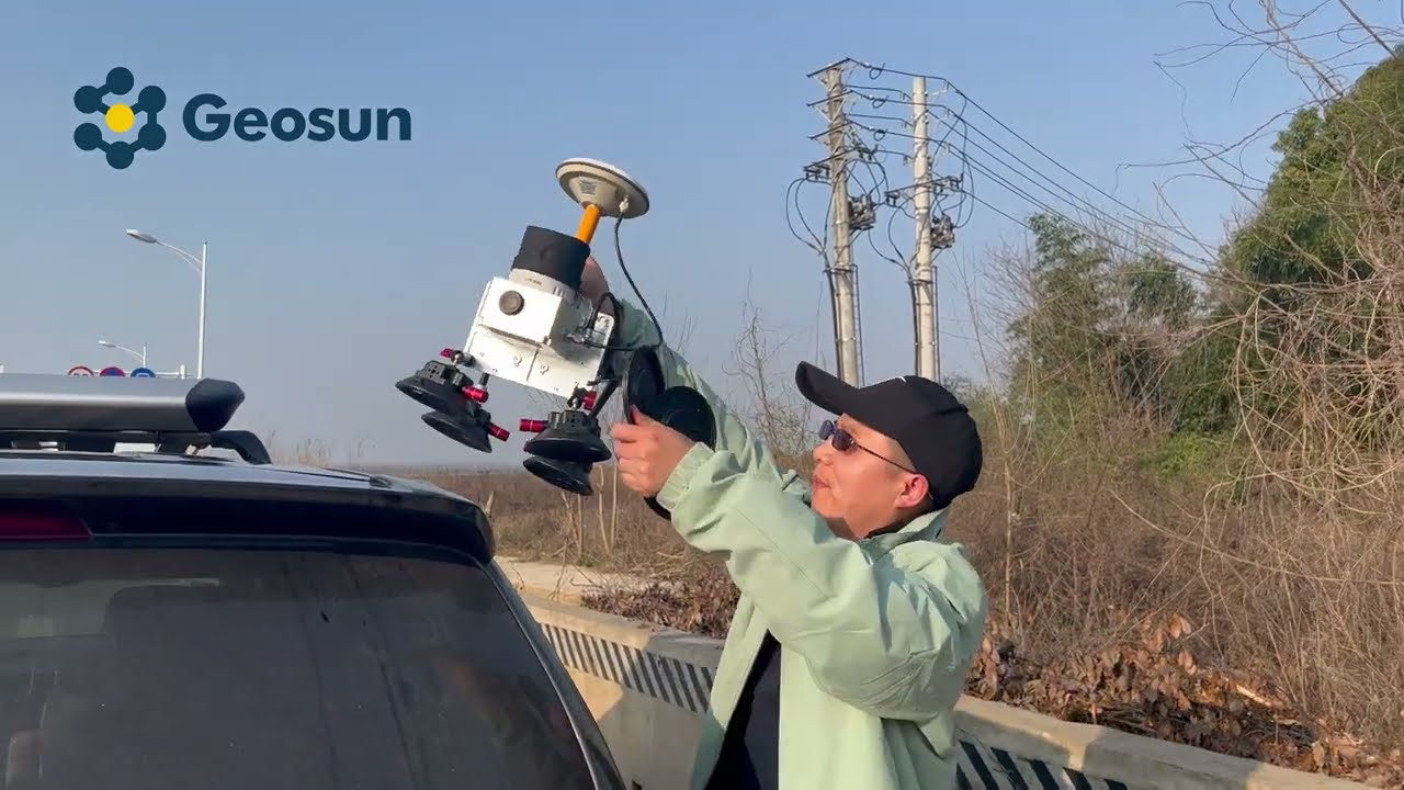
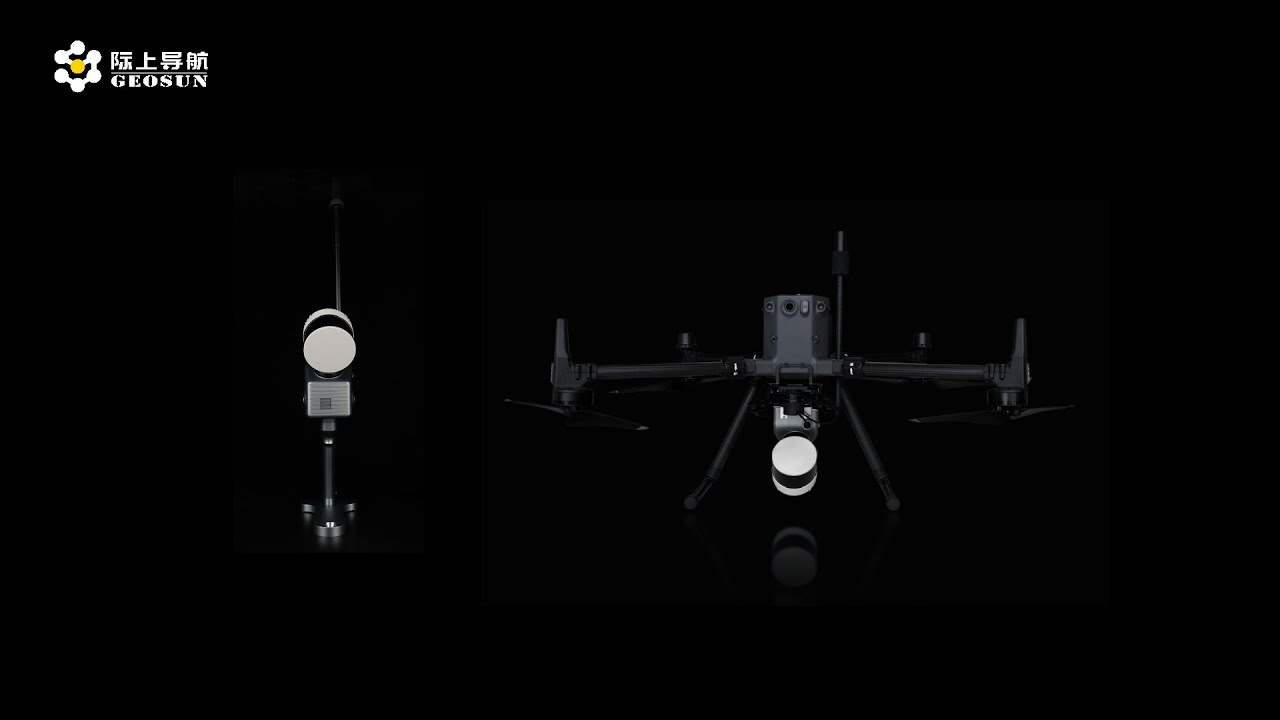
GS 260F UAV/Drone LiDAR for Mobile Applications | Advanced Mapping Technology
Автор: Geosun Navigation
Загружено: 2021-10-20
Просмотров: 534
Unlock the power of GS 260F UAV/Drone LiDAR for mobile applications! Explore how LiDAR technology revolutionizes mapping, surveying, and environmental monitoring on-the-go with seamless integration, accuracy, and efficiency. Stay ahead in mapping technology with expert insights and tips. Subscribe for UAV LiDAR tutorials, industry updates, and innovative solutions for mobile applications!
If you are interested in UAV/drone LiDAR mapping or mobile LiDAR technology, you have come to the right place! Geosun is one of the leading companies in UAV/drone LiDAR mapping solutions and mobile LiDAR scanning systems. Providing the most cost-effective UAV/drone LiDAR mapping products with free 3d point cloud annotation and 3d point cloud generation software, we are here to help you understand and succeed with your UAV/drone LiDAR, and mobile LiDAR needs!
Follow Us On Social Media:
➡ LinkedIn: / 70859796
➡ Instagram: / geosunnav
➡ Facebook: / geosunnav-110288717349485
➡Twitter: / geosunnav
Learn More:
➡ Visit Our Website: https://en.geosuntech.com/
➡ Contact Us: sales@geosunLiDAR.com
Don't forget to like, share, and subscribe for more exciting content! Leave us a comment below to let us know what you want to learn next.
#DroneMapping #DroneSurvey #SurveyDrone #MappingDrone #3DMapping #DroneLiDAR #LiDAR #AerialDrone #aerialmapping #lidarscanner

Доступные форматы для скачивания:
Скачать видео mp4
-
Информация по загрузке: