📍 Odisha Geo4K ଦ୍ୱାରା Satellite Imagery ବ୍ୟବହାର କରି Plot Locate କିପରି କରିବେ | Step by Step Guide
Автор: BhumiSathi Odisha
Загружено: 2026-01-06
Просмотров: 76
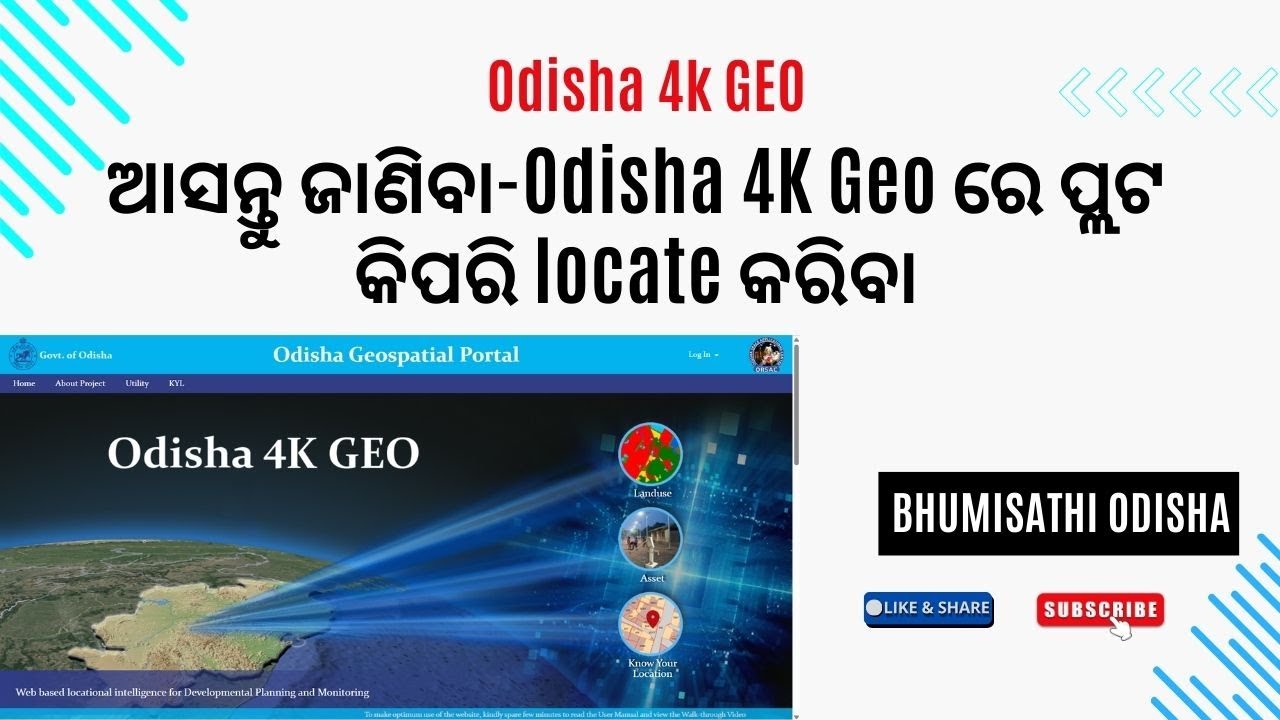
ଏହି video ରେ ମୁଁ ଆପଣମାନଙ୍କୁ Odisha Geo4K portal ବ୍ୟବହାର କରି
🛰️ Satellite Imagery ମାଧ୍ୟମରେ plot କିପରି locate କରିବେ ସେଥିରେ step by step explain କରିଛି।
ଏହି tutorial ରେ ଆପଣ ଶିଖିବେ –
✔️ Odisha Geo4K portal କିପରି open କରିବେ
✔️ Satellite imagery option କେମିତି use କରିବେ
✔️ Plot number ଦ୍ୱାରା land location କିପରି identify କରିବେ
odisha4kgeo.in
ଏହି video Land verification, field visit, plot identification, survey work ପାଇଁ ଖୁବ useful।
ଭିଡିଓଟି ଭଲ ଲାଗିଲେ 👍 Like କରନ୍ତୁ,
📌 Channel କୁ Subscribe କରନ୍ତୁ
🔔 Bell icon press କରନ୍ତୁ – ଆଗାମୀ Odisha land related updates ପାଇଁ।
#OdishaGeo4K #SatelliteImagery #PlotLocate #OdishaLandRecord
#LandVerification #GISOdisha #OdiaTech #revenuework
Disclaimer / Fair Use Notice:-
This video is made for educational purposes only.Fair use is claimed under Section 52 of the Indian Copyright Act, 1957, and Section 107 of the U.S. Copyright Act, 1976, for purposes such as education, explanation, and information.All copyrights and intellectual property rights belong to their respective owners.
This video is made only for educational and informational purposes.All information shown in this video is based on publicly available websites and personal understanding or experience.Government rules, processes, and website features may change at any time.Before taking any legal, financial, or land-related decision, please consult the concerned government office or an authorized professional.I will not be responsible for any loss, dispute, or legal issue arising from the use of this information.
Доступные форматы для скачивания:
Скачать видео mp4
-
Информация по загрузке: