Geoinformatics Training | Master GIS, Remote Sensing & Drone Mapping | Nigmt Foundation
Автор: nigmt foundation
Загружено: 2025-12-10
Просмотров: 1741
Welcome to Netra Institute of Geoinformatics — one of India’s premier Geospatial Education & Professional Training Institutes, where we prepare future geospatial experts for real-world careers. 🌍
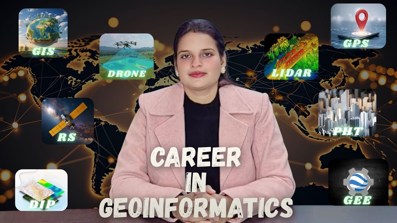
In this video, you’ll discover how our Geoinformatics training programs empower learners with cutting-edge skills in:
➡ Geographic Information Systems (GIS)
➡ Remote Sensing & Satellite Data Analysis
➡ Drone/UAV Mapping & Processing
➡ LiDAR & Photogrammetry Fundamentals
➡ GPS & Navigation Systems
➡ Geospatial Data Science & AI Integration
Our industry-aligned instruction combines theory + hands-on projects, ensuring you build practical expertise that top employers seek. Whether you are a student, graduate, or working professional, Netra’s curriculum is designed to:
⭐ Help you understand spatial data workflows
⭐ Prepare you for GIS & Remote Sensing job roles
⭐ Boost your career in urban planning, environment, defense, agriculture, utilities & more
⭐ Equip you with modern geospatial tools & technologies
📌 What You’ll Learn in This Video:
• An overview of the geoinformatics domain
• Key technologies & tools used in industry
• How Netra’s programs help you become job-ready
📍 Join our community for daily tutorials, expert talks, project demos, career guidance, and updates on the latest geospatial advancements.
👉 Subscribe now and start your journey toward a high-impact career in GIS & Remote Sensing! / @nigmtfoundation
📘 Programs Offered:
🎓 PG Diploma & Certification in Geoinformatics
📊 Advanced GIS & Drone Mapping Courses
📚 University-affiliated Degree Programs
/ nigmtfoundation
WhatsApp: https://wa.me/918585991286
https://www.instagram.com/nigmt.found...
Доступные форматы для скачивания:
Скачать видео mp4
-
Информация по загрузке: